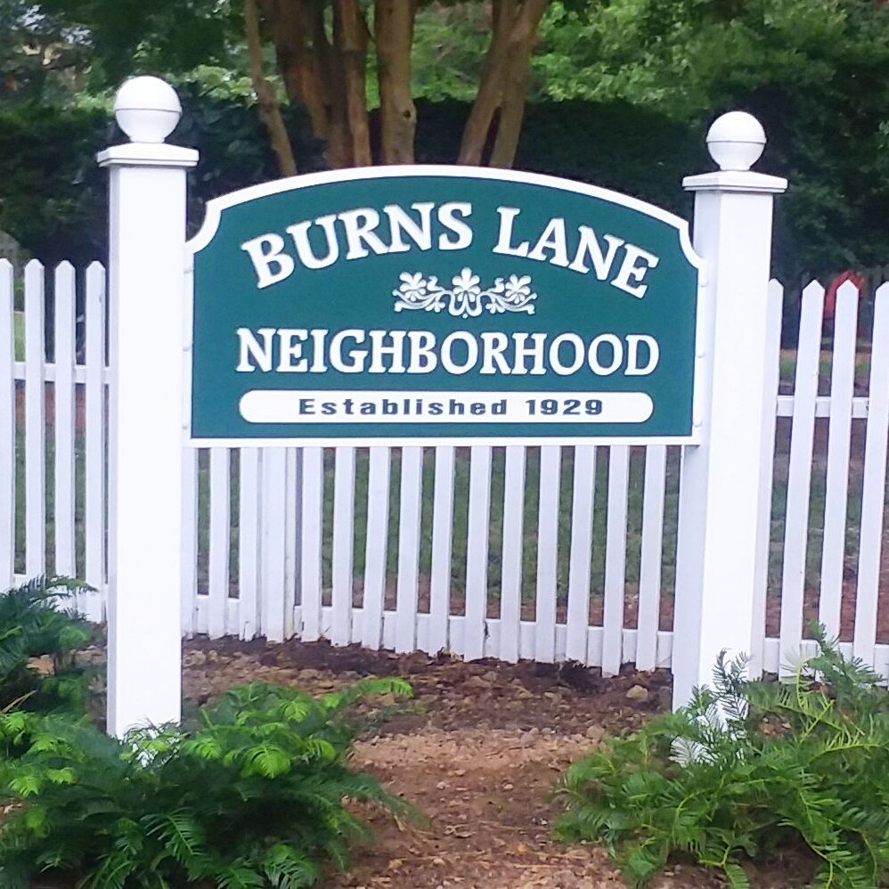
The Burns Lane Neighborhood, which includes Burns Lane, Goodwin Street, Powell Street, and one block of Jamestown Road, is a neighborhood in the truest sense of the word. There are 60 homes in our neighborhood, and we try to know our neighbors by name. We take pride in our neighborhood and our homes, the oldest of which dates to 1784. Houses are continuously being renovated with a few new builds.
Learn more about the residents of our neighborhood and read some colorful stories about our neighborhood and the surrounding area in our BLRA Blog.
The history of the Burns Lane Neighborhood remains to
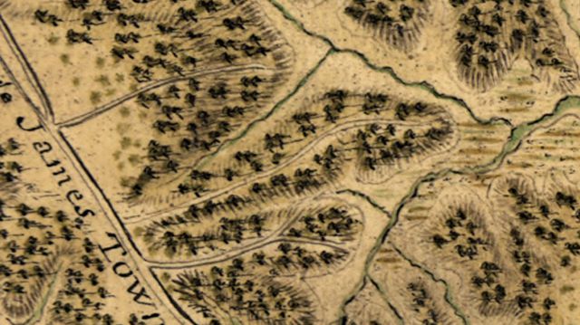
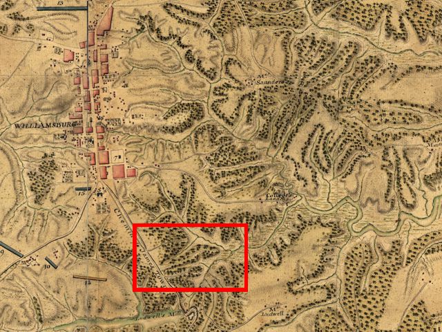
be written, but what we now call Burns Lane appeared in the 1782 map of Williamsburg drawn by Jean-Baptiste Donatien de Vimeur, comte de Rochambeau.
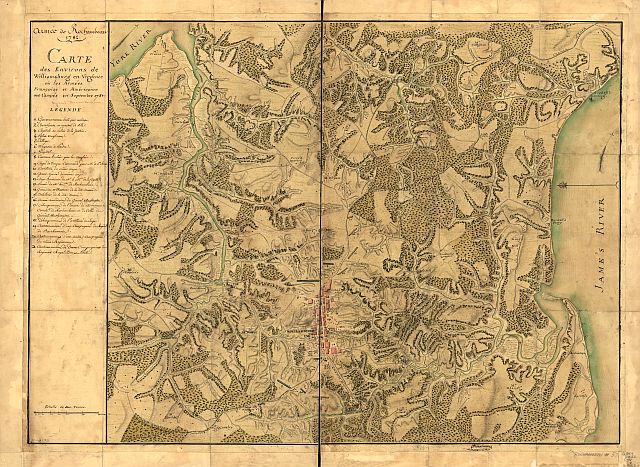
In the center, approximately two-thirds from the top, is the City of Williamsburg.
Burns Lane is within the red rectangle, along with what are now Indian Springs and Rolfe Road.
Inset image from red rectangle above.